Your Open Source ERP Expedition: Unveiling Customization and Community Harmony in 2024 March 26, 2024
Your Open Source ERP Expedition: Unveiling Customization and Community Harmony in 2024 March 19, 2024
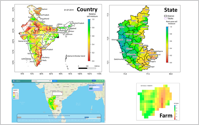
“Unlocking Insights: 5 Real-World Applications of GIS in Business, Government, and Science with Xpertnest’s AI-Enabled Geospatial Intelligence Solutions” Geographic Information Systems (GIS) have revolutionized the way we analyze and visualize data related to our physical world. With GIS technology, we can gain insights Read More » March 30, 2023